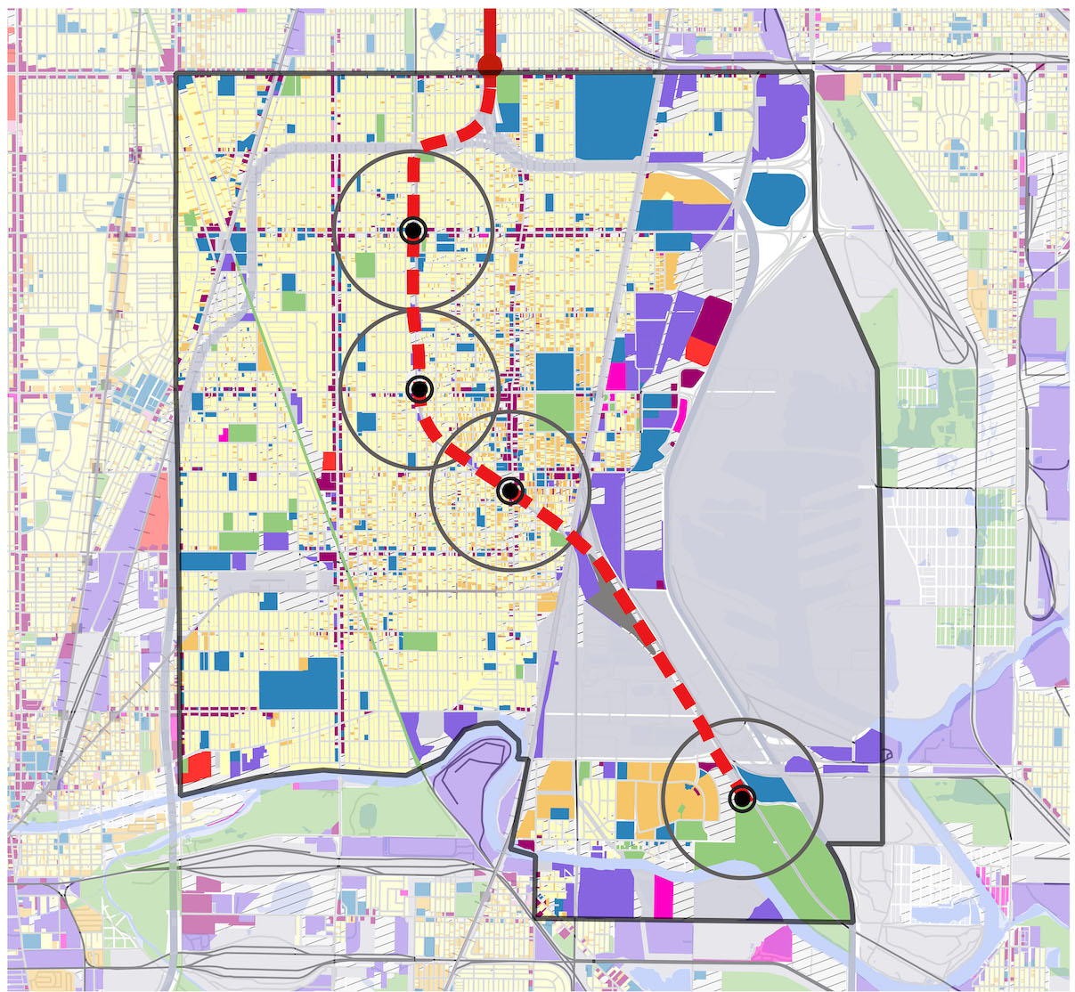
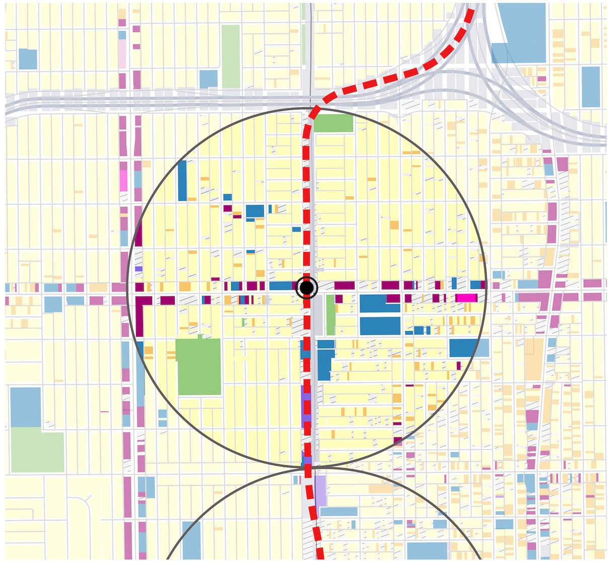
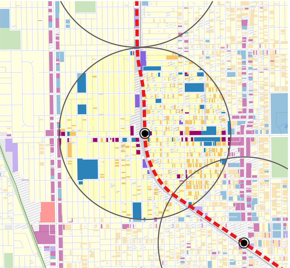
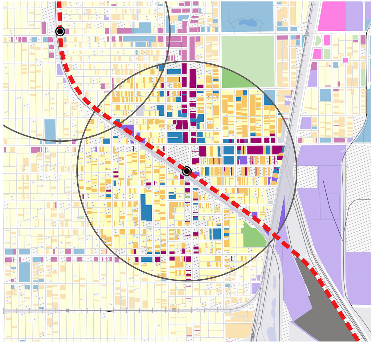
CTA Red Line Extension
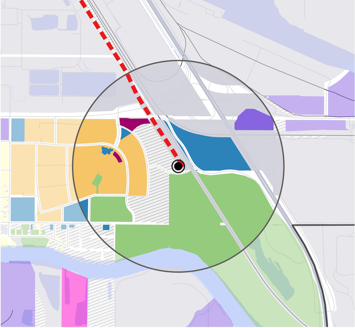
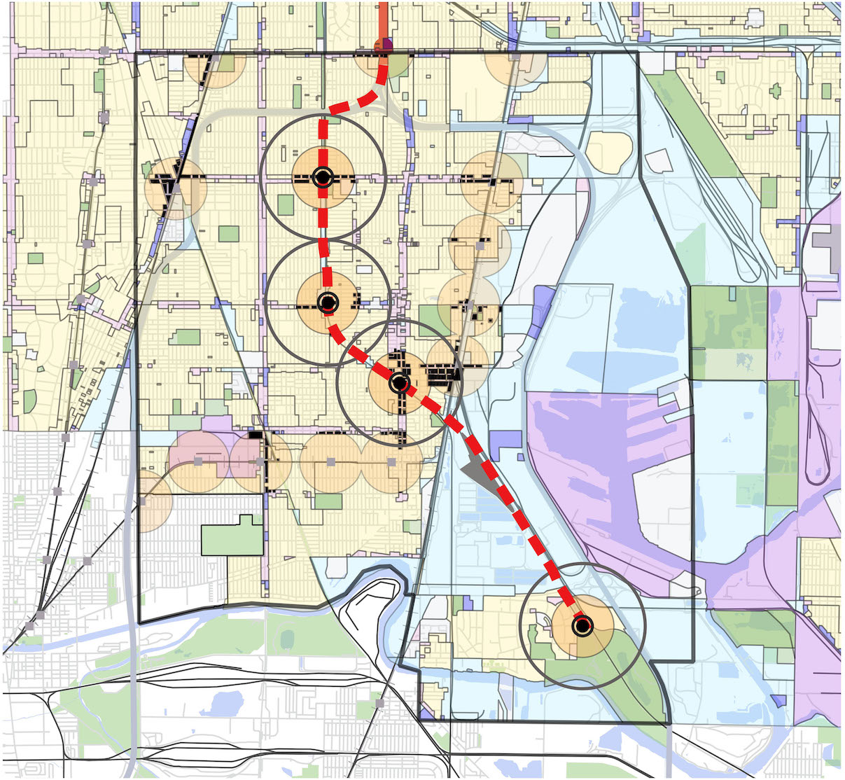
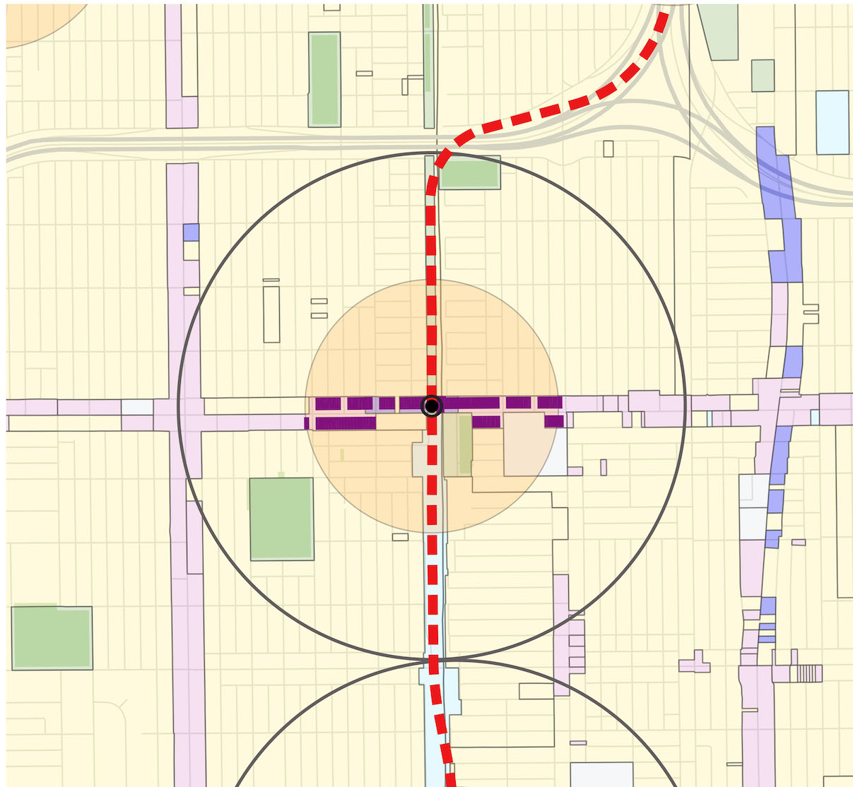
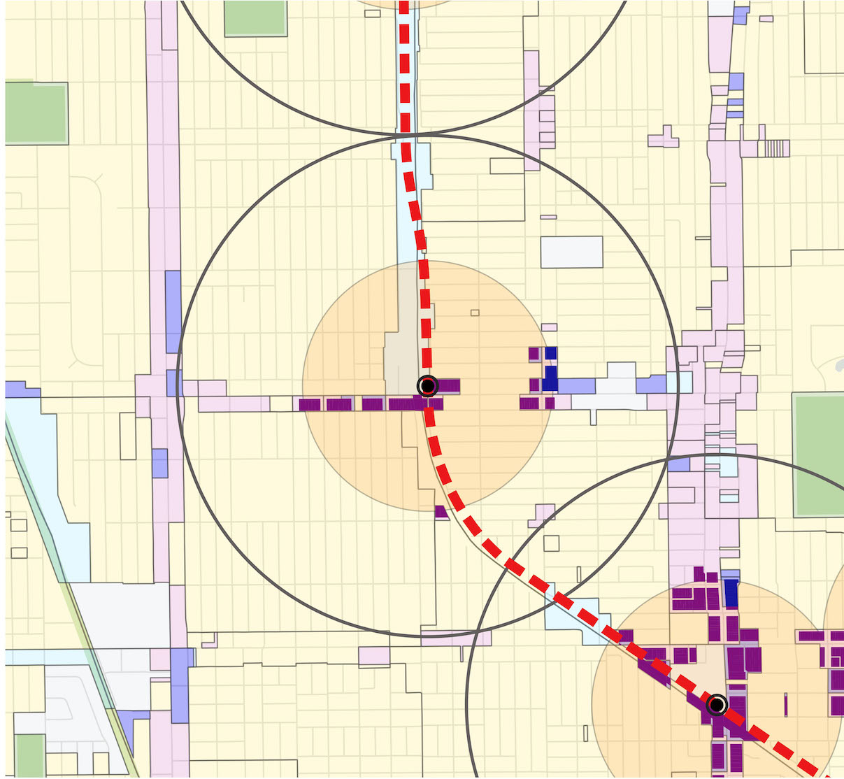
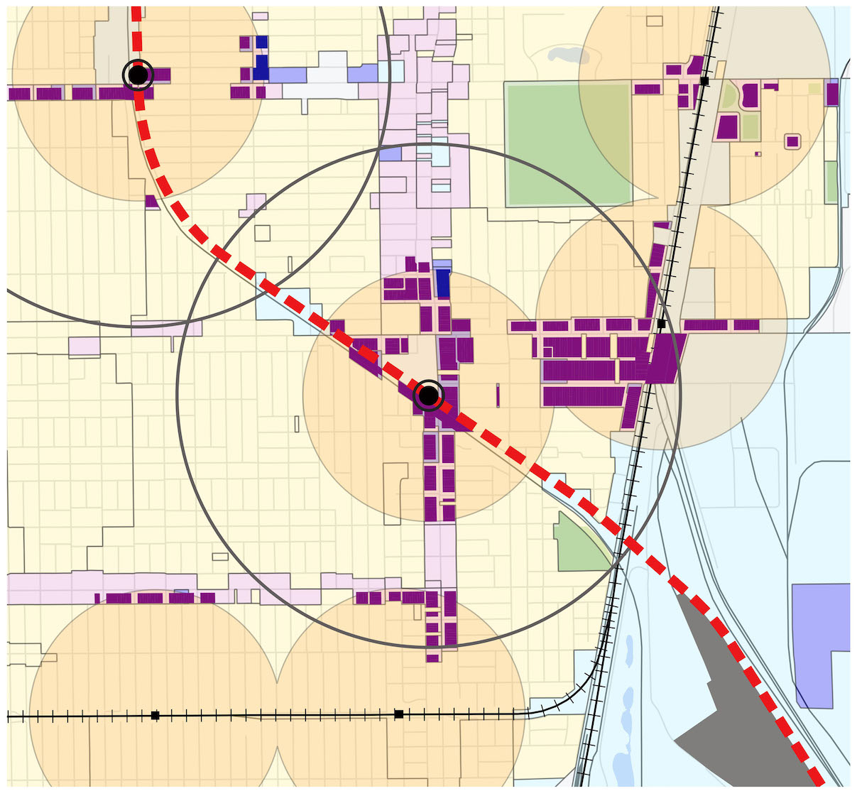
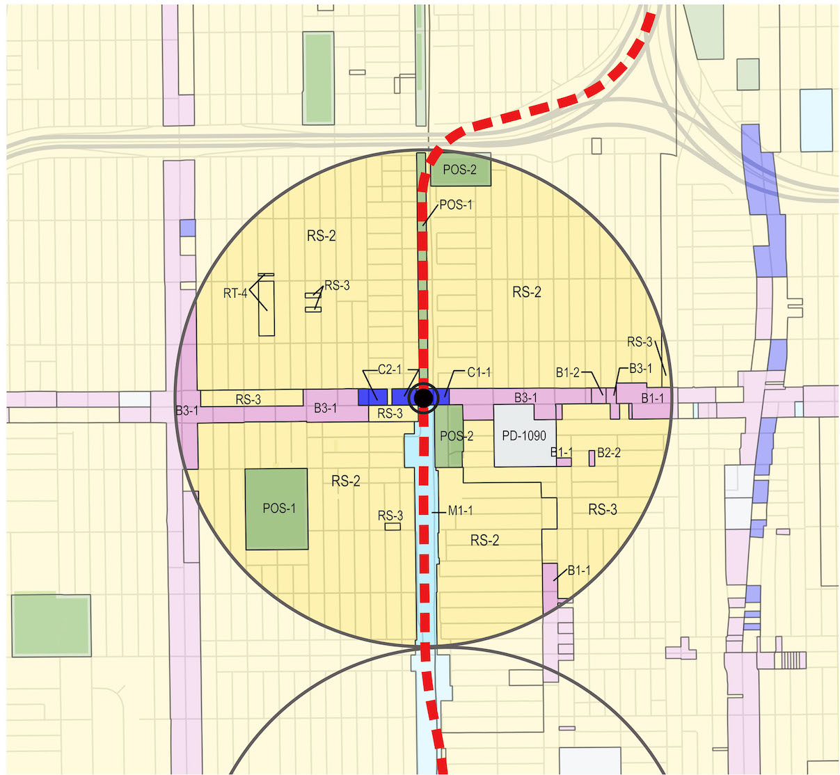
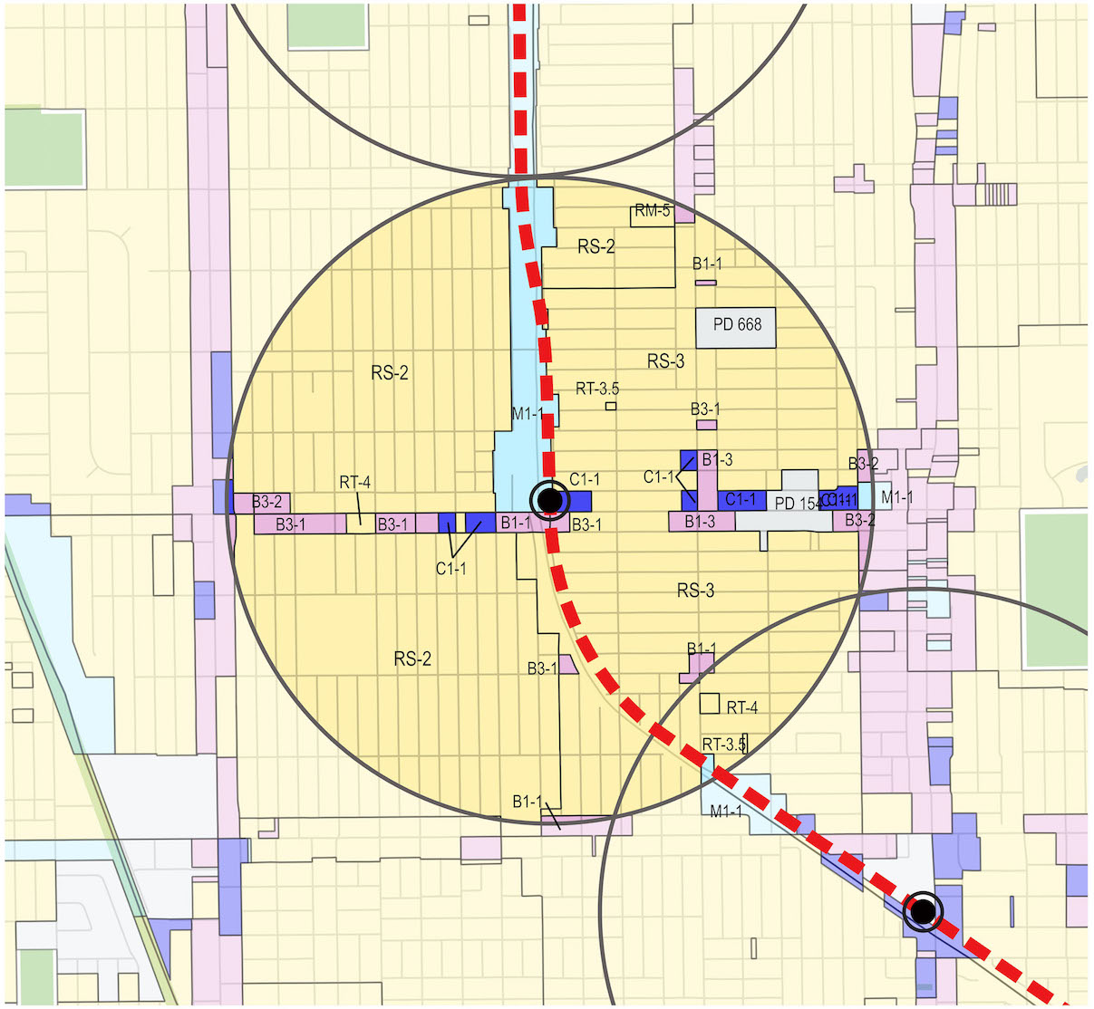
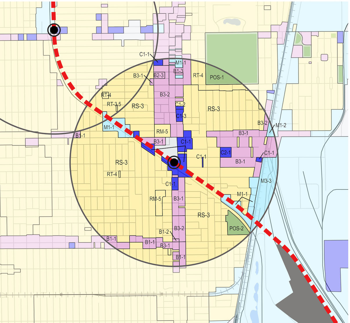
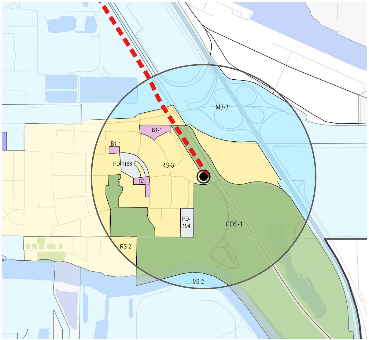
The Chicago Transit Authority Red Line Extension is a proposed project extending the alignment of the Red Line from 95th Street to 130th Street. We assisted the project in developing GIS maps and performing data analytics for the Transit Supportive Development Plan. Some of the maps we developed included land use, zoning, transit-oriented development, and webmaps.
Apps/Tools Used: ArcGIS, Adobe InDesign, QGIS, Leaflet, qgis2web